
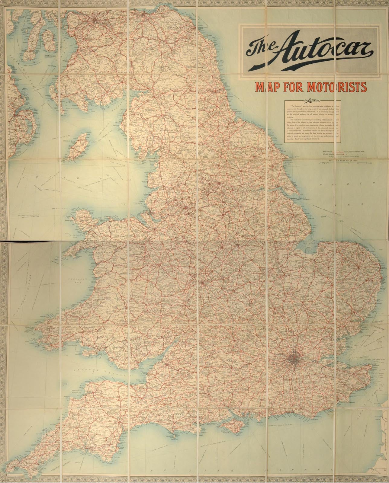
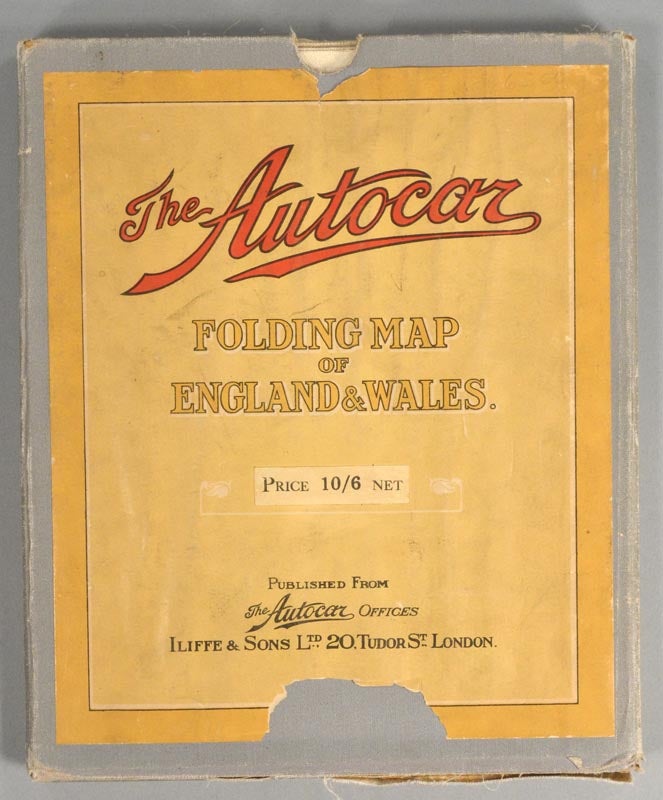
FOLDING MAP OF ENGLAND & WALES
1930. Item #55635
THE AUTOCAR. FOLDING MAP OF ENGLAND & WALES. London: The Autocar Offices, circa 1930s. A 45.5" by 54" map on colored paper mounted on white cotton canvas. This is an ex-library copy with markings on the slip case and ink call number on the map. It is folded in an 8 by 9.5 inch blue cloth slipcover with paper title labels to the boards. Lightly soiled. There is wear to the edges of the slipcover, which has a long closed tear to one of the title labels, and a 2.5 inch chip to the bottom edge of both the upper and the lower labels. There is some light fraying to the edges of the cloth backing of the map. Overall a very good copy of this handsome driving map.
Price: $60.00