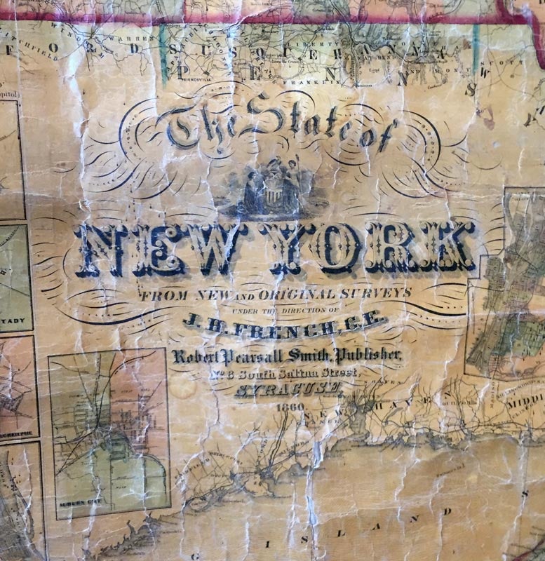
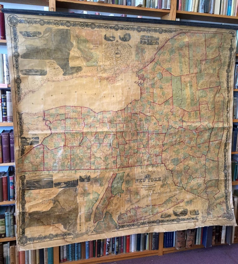
STATE OF NEW YORK FROM NEW AND ORIGINAL SURVEYS
1860. Item #87692
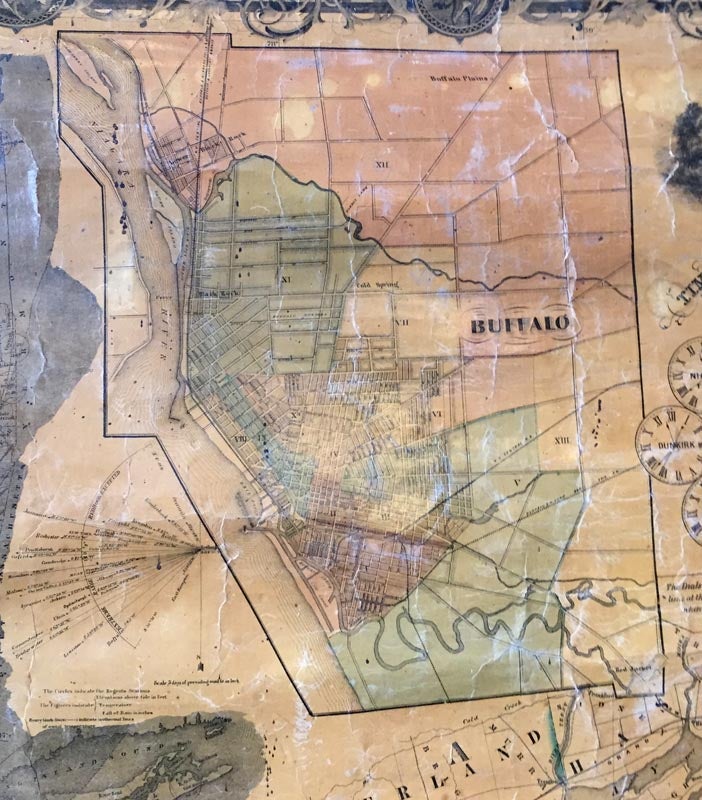
[MAP - NEW YORK STATE]. THE STATE OF NEW YORK FROM NEW AND ORIGINAL SURVEYS, under the direction of J. H. French, O.E. Syracuse: Robert Pearsall Smith, Publisher, 1860. A large-format wall map of New York State surrounded by vignette maps of Syracuse Oswego, Manhattan, Long Island, Hudson, Schenectady, Poughkeepsie, Albany, Auburn City, Utica, Buffalo, Rochester, a geological and land patent map, a meteorological map, and a time indicator (i.e. a series of dials indicate the time at several points throughout the state when it is noon at Albany). 68 x 73 inches. An excellent example of "scientific mapping" at the time, the French map is considered to the best state map produced before the civil war. It was widely used in public schools and offices at the time and is still useful as a detailed picture of roads and town locations as they existed at the time. It appears to be the first commercial map of New York State to present statistical information in cartographic form.Bottom roller missing. Varnish yellowed, with small creases. Edges worn with some small tears and dampstaining. Overall in very good condition.(Allen, D.Y.;' The Mapping of NY State'). (Ristow; American Maps p355-78).
Price: $1,250.00