
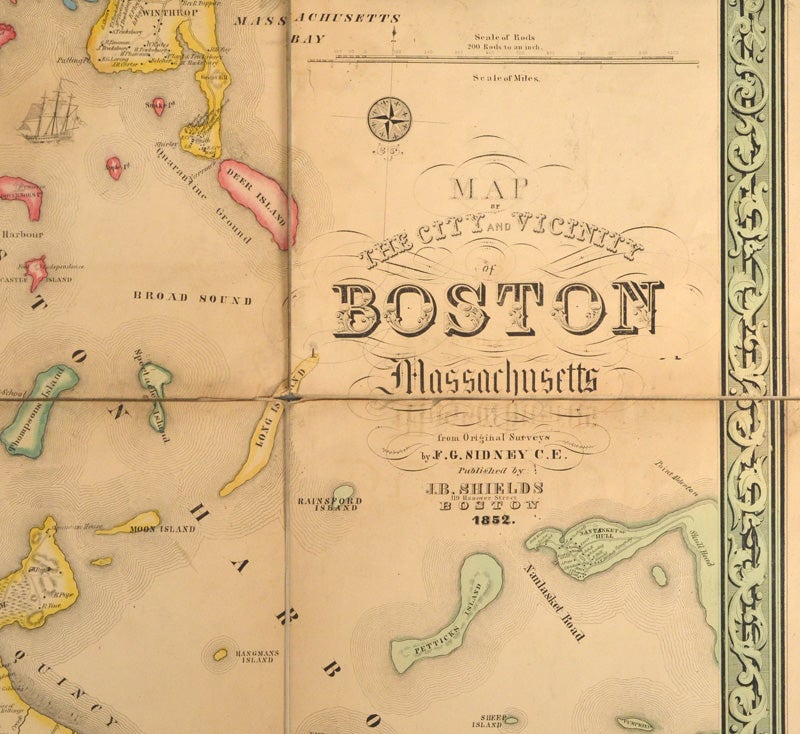
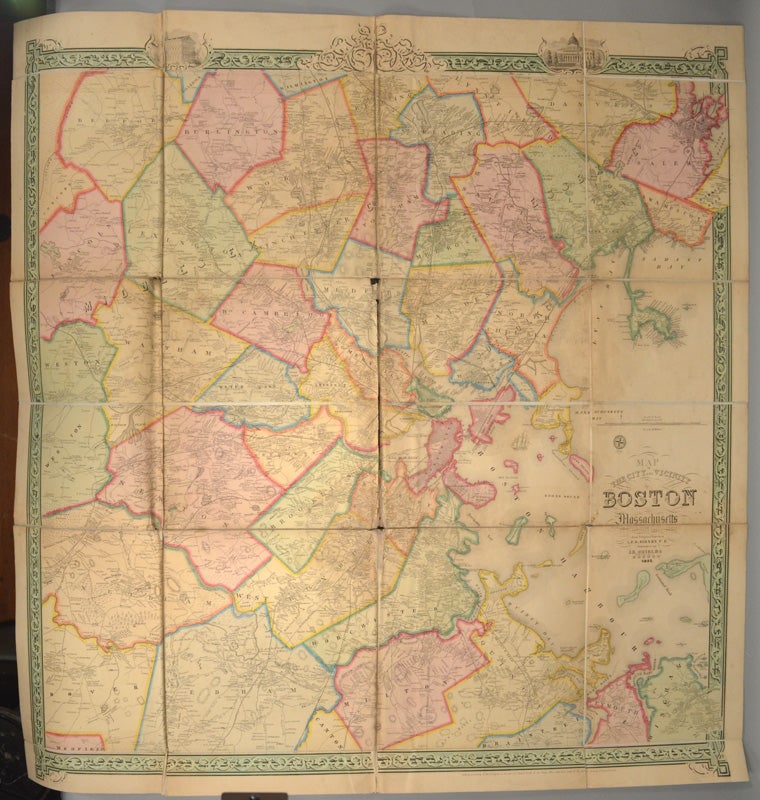
MAP OF THE CITY AND VICINITY OF BOSTON MASSACHUSETTS
1852. Item #88072
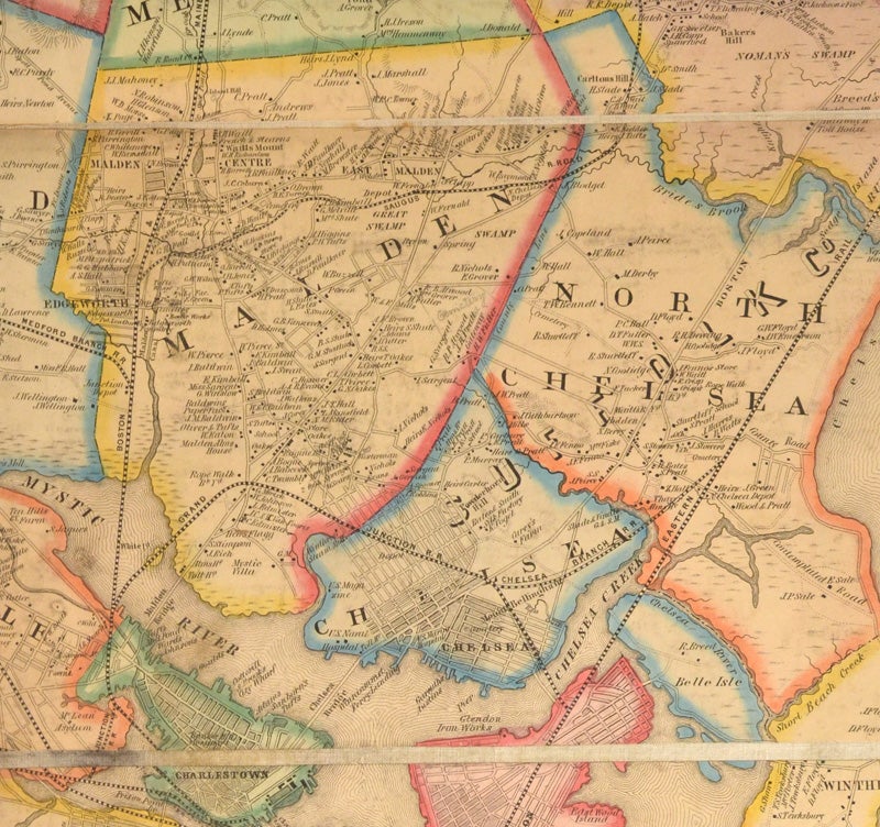
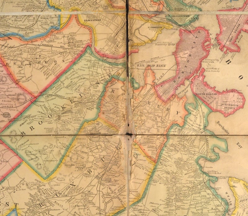
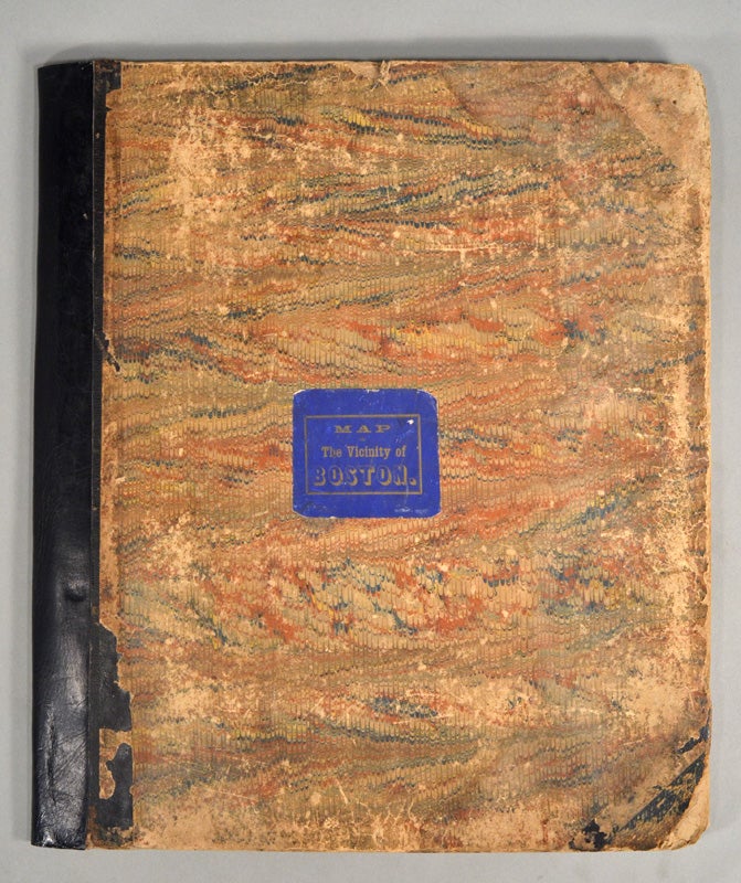
VERY LARGE, SCARCE MAP OF 1852 BOSTON SIDNEY, F. G. [i.e. J. C.] MAP OF THE CITY AND VICINITY OF BOSTON MASSACHUSETTS. [Philadelphia: R. P. Smith for] Boston: J. B. Shields, 1852. First Edition. A full color folding map, 40 3/4" x 41 1/2", comprised of 24 linen-backed panels that fold into a contemporary quarto-size case, 11 3/4"x 13 3/4". Map is lightly soiled yet still bright. There is some shallow, irregular loss along the vertical centerfold of the map and just at the intersection of a couple of other folds where the linen backing has either split or has suffered small loss (Roxbury effected the most). The backing has some dampstaining that does not bleed through to the front of map. The orginal folding case has worn and rubbed contemporary marbled boards, with the original printed paper label on the front. The folder has been inexpertly rebacked with black leather. In this edition the surveyor's name was incorrectly printed as "F. G. Sidney". In the subsequent 1853 edition it was corrected. Sidney was a surveyor and draftsman for John Jay Smith and his son Robert Pearsall Smith of Philadelphia. It appears to have been printed by Smith for J. B. Shields of Boston. This very accurate and detailed map shows roads, railroads, buildings and property owners in towns surrounding Boston at a time of great change in the city's topographical history. It is a rare map.
Price: $2,750.00