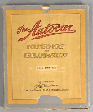
FOLDING MAP OF ENGLAND & WALES
1930. THE AUTOCAR. FOLDING MAP OF ENGLAND & WALES. London: The Autocar Offices, circa 1930s. A 45.5" by 54" map on colored paper mounted on white cotton canvas. This is an ex-library copy with markings on the slip case and ink call number on the map. It is folded in..... More
![Item #87934 BUNGEI ICHIBA [BUNGEI SHIJO^] Vol.3 #6. AVANT GARDE, UMEHARA Hakumei](https://rarebook.cdn.bibliopolis.com/pictures/87934.jpg?width=320&height=427&fit=bounds&auto=webp&v=1584647054)