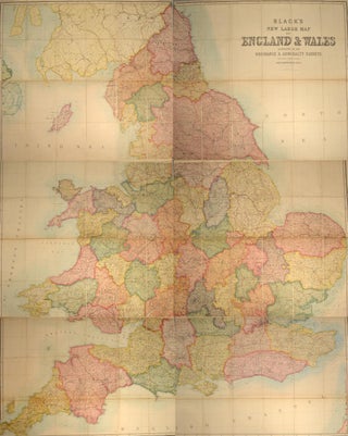
BLACK'S NEW LARGE MAP OF ENGLAND AND WALES
18. (BLACK, Adam and Charles, Publishers). BLACK'S NEW LARGE MAP OF ENGLAND & WALES. According to the Ordnance, Admirality, and Other Surveys. On the scale of 4 miles to an inch, by John Bartholomew, F.R.G.S. Edinburgh: Adam & Charles Black, n.d. (circa 1870-1890). Three color sheets, folding, mounted on linen..... More