MAP OF WORCESTER COUNTY MASSACHUSETTS.
Item #89254
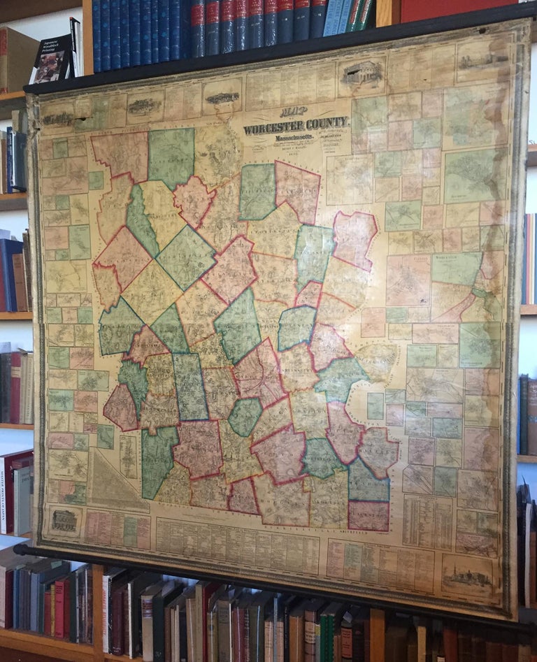
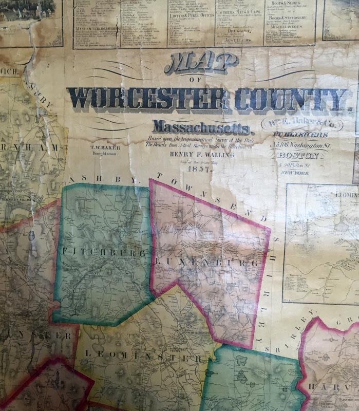
[MAP- WORCESTER COUNTY]. MAP OF WORCESTER COUNTY MASSACHUSETTS. Based upon the trigonometrical Survey of the State. The Details from Actual Surveys under the Direction of Henry F. Walling. Boston & New York: Wm. Baker & Co., 1857. 63"x 62". A large format wall map of Worcester County, Massachusetts surrounded by vignette maps of towns, business directories, views of local landmarks and statistical charts. Varnish slightly yellowed with some tears and dampstaining.
Price: $750.00
See all items in
Maps and Travel
See all items by MAP- WORCESTER COUNTY